
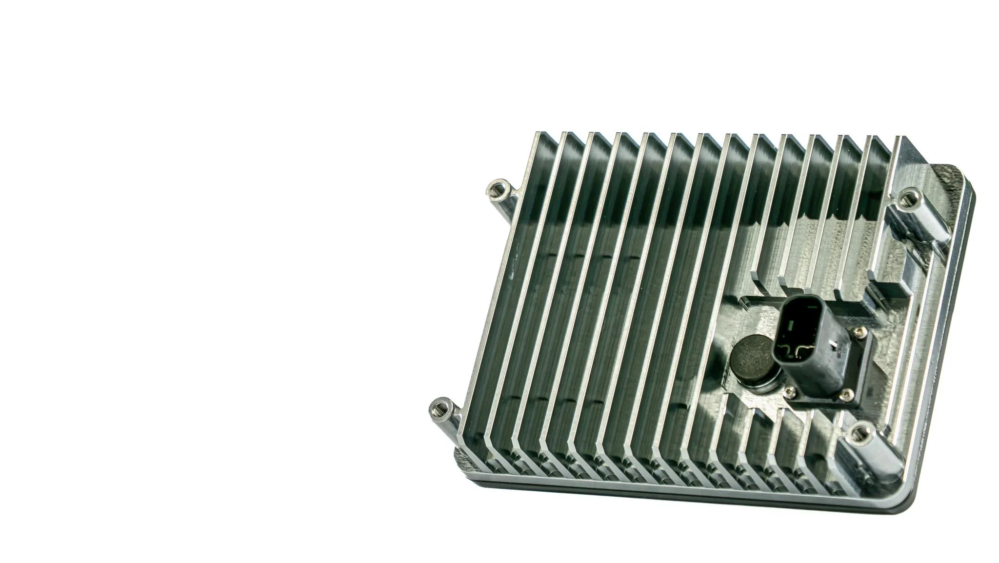
zPRIME 3.0
Uncompromising 4D Imaging Radar Designed for Physical AI and Next-Generation Robotics
zPRIME 3.0
Ultra-Performance 4D imaging radar
zPRIME is our flagship imaging radar, combining breakthrough angular resolution, long-range performance, dense 4D point clouds, and software-defined configurability in a production ready sensor. zPRIME 3.0 is designed for developers building the next generation of autonomous machines, robotics, and intelligent infrastructure.
zPRIME is more than a high-performance radar. Build on our third-generation digital beamforming architecture and SDIR platform, zPRIME gives developers control and unlocks flexibility of the radar configuration. Output behavior can be adapted to the application on a case-by-case basis.
With 0.35° static angular resolution, 20Hz output rate, and kilometer-class detection range, zPRIME 3.0 delivers the perception performance needed for demanding environments. One sensor family delivers both close-range object separation and long-range detection through rain, dust, fog, darkness, and camera-blinding conditions.
Most radars ship with their limits baked in. This one doesn't.
zPRIME is more than a high-performance radar. Build on our third-generation digital beamforming architecture and SDIR platform, zPRIME gives developers control and unlocks flexibility of the radar configuration. Output behavior can be adapted to the application on a case-by-case basis.
A waveform you can change
RF-FMCW modulation on a cascaded SDIR™ front end, with antenna and waveform modes selectable per application. Optimize a mode for point-cloud density, or for Doppler, or for maximum instrumented range, without new hardware and without a new part number.
Third-generation digital beam-forming
0.35° static horizontal resolution across the full 120° field of view, with ±0.05° angular accuracy. The array separates two targets sitting in the same range-Doppler cell, the case where conventional radar returns one blurred blob and a wrong answer.
Built for Physical AI and Modern Robotics Deployments
With Long-Range, Wide, and Ultra-Wide antenna configurations, and both PoE and T1 interfaces, zPRIME is built to support the diverse needs of modern robotics in one integrated product family.
zPRIME is part of the broader Zadar development platform.
RSP Core provides basic functionality, flexible radar operating modes, and industry-leading point cloud output. Every sensor includes RSP Core.
Interference treated as a design input
Null steering suppresses jammers and in-band interference from up to 20 nearby active radars while detection holds. Tested to ISO 17387. As radar density rises on public roads and in mine fleets, this stops being a specification and starts being the reason a system works.
Software & deployment
Same sensor. Three ways to build on it.
How much of the stack you own is your decision, not a consequence of which hardware you bought. Deploy zPRIME 3.0 as a standalone sensor, build your own perception layer on top of our toolboxes, or take the complete Zadar solution. The radar underneath is identical in all three — so changing your mind later costs you integration time, not a new part number.
Standalone sensor
Deploy zPRIME 3.0 as a standalone radar sensor.
RDP Developer
RDP Developer provides the data-processing toolboxes needed to evaluate and integrate radar perception into autonomous systems, designed and tuned to work with zPRIME's point clouds.
RSP Studio
RSP Studio gives advanced teams the ultimate control to configure, visualize, analyze, and optimize radar RF parameters and signal processing performance.
One platform under all three. Move between paths without re-qualifying hardware, re-running environmental testing, or changing your mounting, wiring, or SKU.
Three antennas, one radar
Same 120° horizontal field of view. Pick the vertical you actually need.
ZPRM3-77-T1-LR
Long Range
120° × 24°FOV
Pick this if you need to see a long way down a road, a haul route, or a runway approach, and the vertical extent of the scene is narrow.
- Truck detection
- >1,000 m
- Car detection
- >800 m
- Human detection
- >180 m
- Static resolution
- 0.35° × 0.4°
- Instrumented range
- 0.05 – 1,000 m
ZPRM3-77-T1-W
Wide FOV
120° × 50°FOV
Pick this if the scene has height as well as depth — intersections, yards, multi-level infrastructure, robotics working near structures and overhead obstacles.
- Truck detection
- >400 m
- Car detection
- >400 m
- Human detection
- >120 m
- Static resolution
- 0.35° × 0.9°
- Instrumented range
- 0.05 – 400 m
ZPRM3-77-T1-UW
Ultra-Wide FOV
120° × 90°FOV
Pick this if you need near-hemispherical awareness in close quarters — drones, mining equipment operating around people, perimeter coverage where a blind spot is the whole problem.
- Truck detection
- >250 m
- Car detection
- >250 m
- Human detection
- >80 m
- Static resolution
- 0.35° × 1.6°
- Instrumented range
- 0.05 – 250 m
| Radar performance | Long RangeZPRM3-77-T1-LR | Wide FOVZPRM3-77-T1-W | Ultra-Wide FOVZPRM3-77-T1-UW |
|---|---|---|---|
| Frequency | 76–81 GHz (US) · 77–81 GHz (worldwide) · 76–77 GHz (regional) | ||
| Field of view, H × V 1 | 120° × 24° | 120° × 50° | 120° × 90° |
| Static angular resolution, H × V 2 | 0.35° × 0.4° | 0.35° × 0.9° | 0.35° × 1.6° |
| Angular accuracy | ±0.05° | ||
| Truck detection 3 | >1,000 m | >400 m | >250 m |
| Car detection 4 | >800 m | >400 m | >250 m |
| Human detection 5 | >180 m | >120 m | >80 m |
| Instrumented range, max 6 | 0.05 – 1,000 m | 0.05 – 400 m | 0.05 – 250 m |
| Range resolution, min 7 | 0.034 m | ||
| Range accuracy, min 7 | 0.01 m | ||
| Doppler ambiguity, max 8 | 143.4 m/s (516 km/h · 320 mph) | ||
| Doppler resolution, min 8 | 0.14 m/s | ||
| Frame time 9 | 50 ms / 20 Hz | ||
| Dynamic range 10 | 118 dB | ||
| Interferer count tolerance 11 | Tested to ISO 17387 | ||
| Hardware 12 V / 1000BASE-T1 Edition | |||
| Radio principle | Cascaded SDIR™, RF-FMCW modulation, 3rd-gen HiRes beamformer | ||
| Certification | FCC Part 95M · CE · MIC (Japan) · KC (South Korea) | ||
| Dimensions | 140 × 104 × 35 mm (5.5 × 4.0 × 1.4 in) | ||
| Weight | 520 g (18.3 oz) | ||
| Material | PBT + ADC12 aluminium, dark grey anodized | ||
| Mounting | Rear: 4 × M5 | ||
| Sealing | IP68, 2 m | ||
| Operating temperature | −40 °C to +85 °C | ||
| Storage temperature | −40 °C to +95 °C | ||
| Shock & vibration | EN 60068 / ISO 16750 — mechanical shock, random vibration, thermal shock, thermal cycling | ||
| Interface | 1000BASE-T1 / CAN / CAN-FD | ||
| Connector | TE Connectivity 2387351-1 (male socket, radar side) | ||
| Power supply | +8 to 26 V DC (12 V nominal) | ||
| Power consumption | 18 W average · 28 W peak | ||
| Synchronization | IEEE 1588 PTP timestamping and PTP sync frame trigger | ||
| Included | RJ45 and PoE converter | ||
- 1Field of view is based on 6 dB antenna beam width, horizontal and vertical. Zadar's array architecture enables horizontal FoV expansion up to 160°.
- 2Measured real-world angular point-cloud separability between two targets with SNR ≥ 5 dB occupying the same range-Doppler cell.
- 3Truck detection range: 23 dBsm typical pickup-truck RCS, obstruction-free real-world scenario, >90% detectability.
- 4Car detection range: 13 dBsm typical sedan RCS, obstruction-free real-world scenario, >90% detectability.
- 5Pedestrian detection range: −5 dBsm typical human RCS, obstruction-free real-world scenario, >90% detectability.
- 6Custom radar operational modes can be applied on request to increase maximum instrumented range beyond the advertised limits. See the detailed radar specification for the full list of operational modes.
- 7Range resolution and accuracy for high-point-cloud-density optimized modes.
- 8Doppler ambiguity and resolution for Doppler-optimized modes.
- 9Depending on conditions and application requirements, the radar can operate at frame rates as high as 50 Hz.
- 10With 118 dB of dynamic range, the radar detects low-RCS targets such as a human at over 110 m even in the presence of strong nearby reflectors like a bus.
- 11Null steering maintains reliable object detection with interference from up to 20 nearby active radars.
Not sure which configuration fits? Send us the scene you need to cover and we'll tell you.
Talk to sales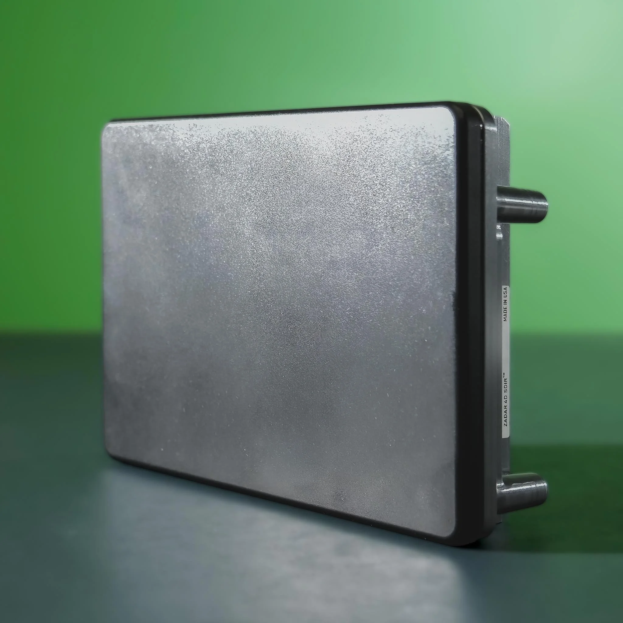
Resolution
Two targets, one range-Doppler cell, two answers.
Angular resolution is where most imaging radar quietly gives up. Two pedestrians walking together, a motorcyclist beside a truck, a pole in front of a wall — same range, same relative velocity, and a conventional radar merges them into a single detection your perception stack then has to guess about.
zPRIME 3.0 separates them at 0.35°, measured on real-world targets with SNR as low as 5 dB. Not a simulated figure, and not measured on isolated corner reflectors.
Interference
Built for roads where everyone else has radar too.
Radar-on-radar interference used to be a lab curiosity. It isn't now — every new vehicle on the road adds transmitters, and mine sites and ports run dozens in a few hundred metres.
zPRIME 3.0 steers nulls toward interferers and keeps detecting through up to 20 nearby active radars, tested according to ISO 17387. 118 dB of dynamic range does the related job on the physics side: a human at 110 m still registers with a bus reflecting hard in the near field.
Edge processing
Perception at the sensor, not three hops downstream.
The radar outputs a 4D point cloud, an object list, and RCS per target in real time, over UDP with Protobuf, at 20 Hz — up to 50 Hz where the application supports it. IEEE 1588 PTP timestamping and sync-frame triggering keep multi-sensor rigs coherent to the frame.
Less to move over the bus, less to compute centrally, and lower latency between something happening and your stack knowing about it.
Applications
Deployed on things that move, and things that watch.
- ADAS and autonomous driving in cluttered outdoor environments
- Mining, construction, and agricultural vehicles where dust defeats optical sensing
- All-weather safety envelope around the vehicle
- Radar SLAM and odometry when GNSS drops out
- Outdoor mobile robots navigating unstructured terrain
- Drone obstacle avoidance and altitude-above-terrain
- Industrial robotics operating alongside people
- 3D surface mapping in mining, agriculture, and industrial sites
- Wide-area perimeter security and surveillance
- Traffic management and smart-infrastructure sensing
- Volumetric and stockpile measurement
- Heat-mapping and traffic-flow analytics via the zVUE toolbox
Working on something not on this list? That's usually the interesting conversation. Talk to sales
Software
The sensor ships complete. The stack goes as deep as you need.
Core is included with every zPRIME 3.0 and covers everything required to stream, configure, and integrate the radar. Plus adds the zVUE perception stack. Pro opens the SDIR™ architecture itself — waveform, RF control, and processing tuning in your hands. Plus and Pro are delivered through a paid engagement.
| Capability | Core (Standalone) Included | Plus (zVUE) Perception stack | Pro (zSDIR) Full architecture access |
|---|---|---|---|
| 4D point cloud output + web visualizer | Included | Included | Included |
| HTTP radar configuration API | Included | Included | Included |
| Time sync over IEEE 1588 PTP | Included | Included | Included |
| UDP radar data API | Included | Included | Included |
| Firmware update over Ethernet | Included | Included | Included |
| SDK support — C++, Python, ROS 1 / ROS 2 | Included | Included | Included |
| Edge / central processor | Not included | Included | Included |
| Camera + radar fusion | Not included | Available | Available |
| GPS fusion | Not included | Available | Available |
| Radar odometry | Not included | Available | Available |
| Clustering | Not included | Available | Available |
| Object classification with RCS, size, motion profile | Not included | Available | Available |
| Heat-map and traffic-monitoring toolbox | Not included | Available | Available |
| Multi-object tracking | Not included | Available | Available |
| Online calibration | Not included | Available | Available |
| Custom waveform and RF control by user | Not included | Not included | Available |
| Custom processing tuning | Not included | Not included | Available |
| SDIR™ imaging radar architecture | Not included | Not included | Available |
Getting started
Powered, streaming, and visualized in under ten minutes.
Bolt it down, run one cable, open the web interface. The integrated visualizer gives you a live point cloud before you write any code — useful for aiming, mounting checks, and proving the sensor is doing what you expect before it goes anywhere near your stack.

- 01Mount with 4 × M5 and connect via the supplied RJ45 / PoE converter
- 02Open the integrated web interface and confirm a live point cloud
- 03Set antenna and waveform mode for your application over the HTTP API
- 04Stream to your stack over UDP + Protobuf, or bring up the ROS node
Frequently Asked Questions
Questions we get from engineers evaluating this sensor.
-
Start with the scene, not the range figure. LR (120° × 24°) suits long, shallow scenes, highways, haul roads, approaches. W (120° × 50°) suits intersections and yards where vertical extent matters. UW (120° × 90°) suits close-quarters awareness on drones and equipment working near people. Send us your mounting height and coverage area and we'll recommend one.
-
On real-world targets, not corner reflectors. It's the measured angular separability between two targets with SNR of 5 dB or better occupying the same range-Doppler cell, the hardest case, and the one that matters, because it's where conventional radar merges two objects into one detection.
-
Yes. Component pages carry recorded detection footage, and we run live demonstrations with real sensors on request — including with your target scenario where we can arrange it. Get in touch and tell us what you need to see.
-
The Core software tier ships with every zPRIME 3.0 and includes point cloud output, the configuration API, SDKs, and the web visualizer — enough to integrate the sensor entirely on your own stack. Peak performance comes from pairing the radar with zVUE in Full-Stack SDIR mode, where context-aware feedback informs the radar's own operation.
-
Yes. zVUE works with any 4D radar in Partial SDIR mode, connected radar fusion, data conditioning, and pre-perception libraries improve system performance on existing hardware. Full-Stack SDIR mode, which requires Zadar sensors, is where the closed loop between software and waveform delivers the full result.
-
Interference rejection is a core design goal rather than a mitigation added afterward. Null steering suppresses jammers and in-band interference, and detection holds with up to 20 nearby active radars, tested to ISO 17387. In our architecture, improving detection and improving interference resistance are the same work.
-
77 GHz radar propagates through airborne particulates and precipitation that scatter light, so performance degrades far more gracefully than lidar or cameras. The housing is IP68-rated to 2 m and qualified from −40 °C to +85 °C with thermal cycling, shock, and vibration testing to EN 60068 and ISO 16750.
-
No. Commercial 60 and 77 GHz radars have been in safe use for years and manufacturers work within strict transmit-power limits. This is low-power, surface-reflecting sensing — not military or marine radar. zPRIME 3.0's detection range comes from highly sensitive receivers and SDIR system optimization, not high transmit power.
-
The platform is solid-state with no moving parts, automotive-grade, and built for harsh low-maintenance environments. Certification covers FCC Part 95M, CE, MIC (Japan), and KC (South Korea), with environmental qualification to EN 60068 and ISO 16750.
-
Both are possible. The array architecture supports horizontal field-of-view expansion to 160°, and custom operational modes can push maximum instrumented range beyond the published figures. Each is an engineering conversation rather than a catalogue option — tell us the requirement.
-
One cable and the web interface gets you a live point cloud. From there: HTTP API for configuration, UDP with Protobuf for data, Python and C++ SDKs, and ROS 1 / ROS 2 packages. IEEE 1588 PTP timestamping and sync-frame triggering handle multi-sensor coherence.
-
Depends on configuration and volume. Contact sales for current availability.
Tell us what you need to see.
Send us the scene, the mounting height, the coverage, the weather, the thing that has to be detected before it matters. We'll tell you which configuration fits, and whether radar is the right answer at all.