
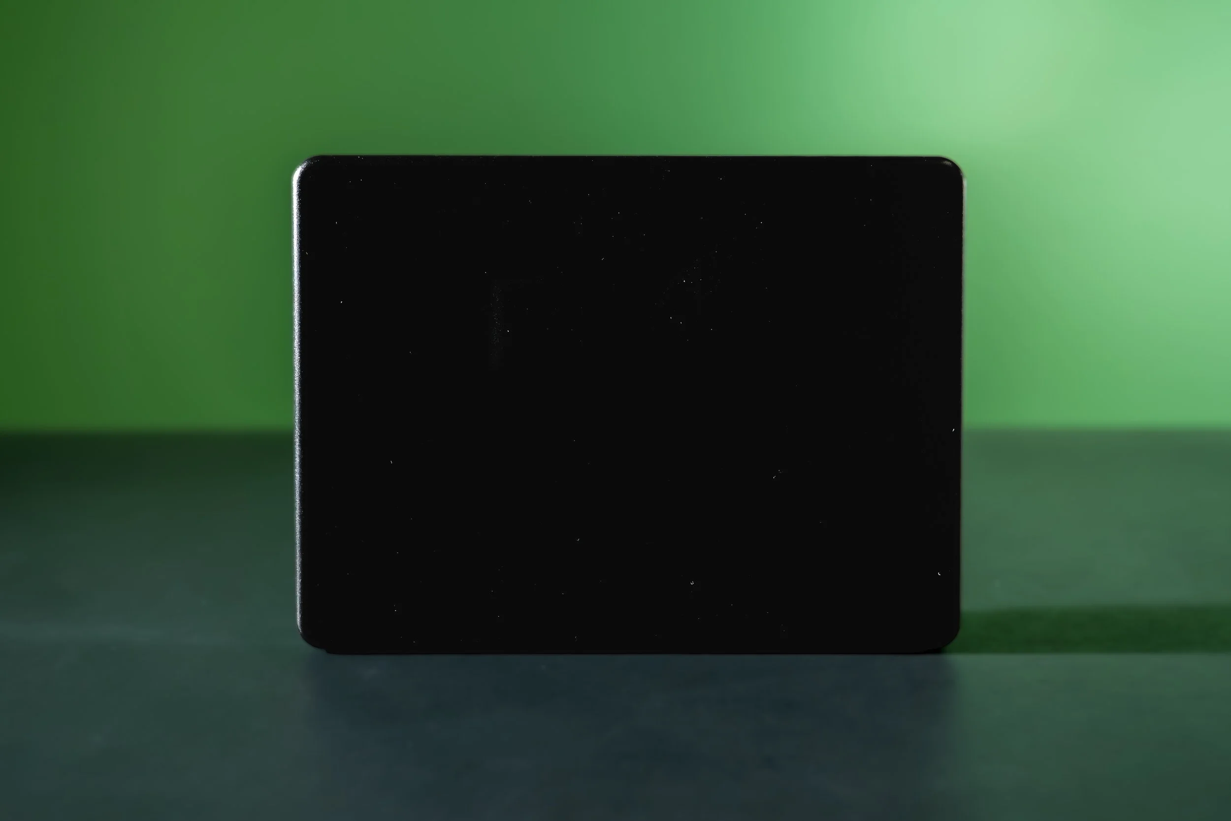
zPRIME 3.0
Resolution that used to require lidar. Range and weather tolerance that never did.
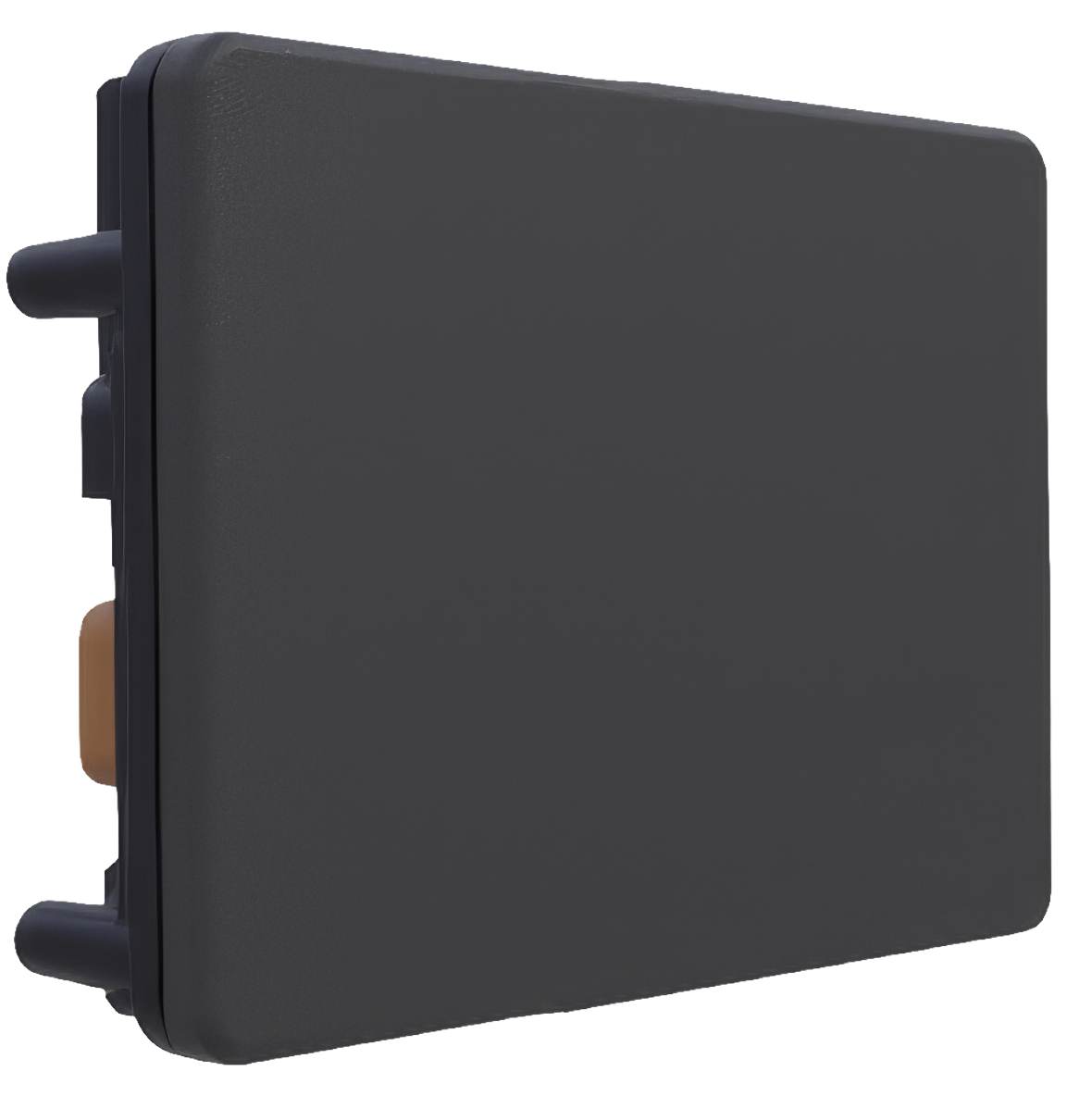
zPRIME 3.0
Ultra-Performance 4D imaging radar
Resolution that used to require lidar. Range and weather tolerance that never did.
Our third-generation platform, zPRIME 3.0 enables next-generation radar sensing systems by providing a breakthrough combination of resolution, range, point density, size, and software flexibility.
zPRIME 3.0 resolves two targets 0.35° apart and still detects a truck past a kilometer. It streams a dense 4D point cloud, range, azimuth, elevation, Doppler at 20 Hz, through rain, dust, fog, and direct sun, from a sealed 520-gram housing you can bolt to a vehicle, a mast, or a mining shovel.
It is the third generation of our digital beam-forming architecture, and it runs on SDIR™, so the waveform, the antenna mode, and the processing chain are all things you can change, not things you inherit.
Most radars ship with their limits baked in. This one doesn't.
Point density, angular separability, interference rejection, and range are usually a set of trade-offs you accept at purchase. zPRIME 3.0 puts them under software control, a patented waveform and a third-generation beamformer, driven by a processing stack you can tune to your application.
A waveform you can change
RF-FMCW modulation on a cascaded SDIR™ front end, with antenna and waveform modes selectable per application. Optimize a mode for point-cloud density, or for Doppler, or for maximum instrumented range, without new hardware and without a new part number.
Third-generation digital beam-forming
0.35° static horizontal resolution across the full 120° field of view, with ±0.05° angular accuracy. The array separates two targets sitting in the same range-Doppler cell, the case where conventional radar returns one blurred blob and a wrong answer.
Interference treated as a design input
Null steering suppresses jammers and in-band interference from up to 20 nearby active radars while detection holds. Tested to ISO 17387. As radar density rises on public roads and in mine fleets, this stops being a specification and starts being the reason a system works.
| Specification | 120° × 24°ZPRM3-77-T1-LR | 120° × 50°ZPRM3-77-T1-MR | 120° × 90°ZPRM3-77-T1-WR |
|---|---|---|---|
| Field of View | 120° × 24° | 120° × 50° | 120° × 90° |
| Static Angular Resolution | 0.35° × 0.4° | 0.35° × 0.9° | 0.35° × 1.6° |
| Angular Accuracy | ±0.05° | ||
| Truck Detection | > 1,000 m | > 400 m | > 250 m |
| Car Detection | > 800 m | > 400 m | > 250 m |
| Human Detection | > 250 m | > 150 m | > 90 m |
| Hardware Dimensions | 140 × 103 × 36 mm | ||
| Weight | 500 g (17.6 oz) | ||
| Sealing Protection | IP68 (2-meter) | ||
| Operating Temperature | −40° to 85° C | ||
| Storage Temperature | −40° to 95° C | ||
| Compliance | IEC 60068-2-27, 64 · ISO 16750 | ||
| Frame Time | 50 ms / 20 Hz | ||
|
zPRIME 3.0
The next evolution of imaging radar.
|
|||
zPRIME 3.0, The Next Evolution of Imaging Radar
How To Setup zPRIME
Frequently Asked Questions
Questions we get from engineers evaluating this sensor.
-
Start with the scene, not the range figure. LR (120° × 24°) suits long, shallow scenes, highways, haul roads, approaches. W (120° × 50°) suits intersections and yards where vertical extent matters. UW (120° × 90°) suits close-quarters awareness on drones and equipment working near people. Send us your mounting height and coverage area and we'll recommend one.
-
On real-world targets, not corner reflectors. It's the measured angular separability between two targets with SNR of 5 dB or better occupying the same range-Doppler cell, the hardest case, and the one that matters, because it's where conventional radar merges two objects into one detection.
-
Yes. Component pages carry recorded detection footage, and we run live demonstrations with real sensors on request — including with your target scenario where we can arrange it. Get in touch and tell us what you need to see.
-
The Core software tier ships with every zPRIME 3.0 and includes point cloud output, the configuration API, SDKs, and the web visualizer — enough to integrate the sensor entirely on your own stack. Peak performance comes from pairing the radar with zVUE in Full-Stack SDIR mode, where context-aware feedback informs the radar's own operation.
-
Yes. zVUE works with any 4D radar in Partial SDIR mode, connected radar fusion, data conditioning, and pre-perception libraries improve system performance on existing hardware. Full-Stack SDIR mode, which requires Zadar sensors, is where the closed loop between software and waveform delivers the full result.
-
Interference rejection is a core design goal rather than a mitigation added afterward. Null steering suppresses jammers and in-band interference, and detection holds with up to 20 nearby active radars, tested to ISO 17387. In our architecture, improving detection and improving interference resistance are the same work.
-
77 GHz radar propagates through airborne particulates and precipitation that scatter light, so performance degrades far more gracefully than lidar or cameras. The housing is IP68-rated to 2 m and qualified from −40 °C to +85 °C with thermal cycling, shock, and vibration testing to EN 60068 and ISO 16750.
-
No. Commercial 60 and 77 GHz radars have been in safe use for years and manufacturers work within strict transmit-power limits. This is low-power, surface-reflecting sensing — not military or marine radar. zPRIME 3.0's detection range comes from highly sensitive receivers and SDIR system optimization, not high transmit power.
-
The platform is solid-state with no moving parts, automotive-grade, and built for harsh low-maintenance environments. Certification covers FCC Part 95M, CE, MIC (Japan), and KC (South Korea), with environmental qualification to EN 60068 and ISO 16750.
-
Both are possible. The array architecture supports horizontal field-of-view expansion to 160°, and custom operational modes can push maximum instrumented range beyond the published figures. Each is an engineering conversation rather than a catalogue option — tell us the requirement.
-
One cable and the web interface gets you a live point cloud. From there: HTTP API for configuration, UDP with Protobuf for data, Python and C++ SDKs, and ROS 1 / ROS 2 packages. IEEE 1588 PTP timestamping and sync-frame triggering handle multi-sensor coherence.
-
Depends on configuration and volume. Contact sales for current availability.
Tell us what you need to see.
Send us the scene, the mounting height, the coverage, the weather, the thing that has to be detected before it matters. We'll tell you which configuration fits, and whether radar is the right answer at all.